New Features are Available in the Updated Version of the LVM GEO Mobile App
With the update of LVM GEO Mobile, the app is now equipped with the option to export and share drawn or measured geometries. A new public on-line data layer “LVM road restrictions” has also been added.
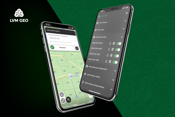
The updated version of the LVM GEO Mobile app (3.5.0) for Android and iOS operating systems provides the ability to save the lines and areas drawn or measured on-line or off-line in the “Added data” section of the app, and then export them as GPX or KML format files or share them with other users. Such an option is useful for nature walkers planning hiking routes.
A new public on-line data layer “LVM road restrictions” has also been added in the updated app version. This layer contains information about the road sections of JSC “Latvia's State Forests” (LVM), which are closed, have restrictions and are one-way, thus allowing road users to plan their route more successfully. The layer can be connected using the following shortcuts: “Configuration” -> “Data display” -> “Data for wood transport”.
It is worth remembering that other layer sets with valuable data can also be connected in the configuration section, such as historical soil maps, cultural monuments, and geodetic points.


